No products
North America old maps, Authentic old, antique, and rare maps of Canada, British America and the United States of America all Antique and historic rare antique maps of the world.
Mapandmaps historical map collection.
Subcategories
North America Antique Prints, Fine & Rare Original Historical Prints of the Great American & Canadian History from the 15th to 19th Centuries.

St. Lawrence River Canada from Anticosti to Quebec West.

Hudson Bay Canada surrounded by the provinces of Quebec, Ontario, Manitoba and Nunavut.

Title: Carte des parties du Nord–Quest de L’Amerique…

Title: Gross Brittannien’s Saemmtliche Besitzungen.

Canada old antique map showing the routes of Sir Henry Middleton and Ellis on their voyages in 1742 and 1746.


British Columbia, Canada Queen Charlotte's Islands.


Title : Carte Reduite Des Parties Septentrionales Du Globe...

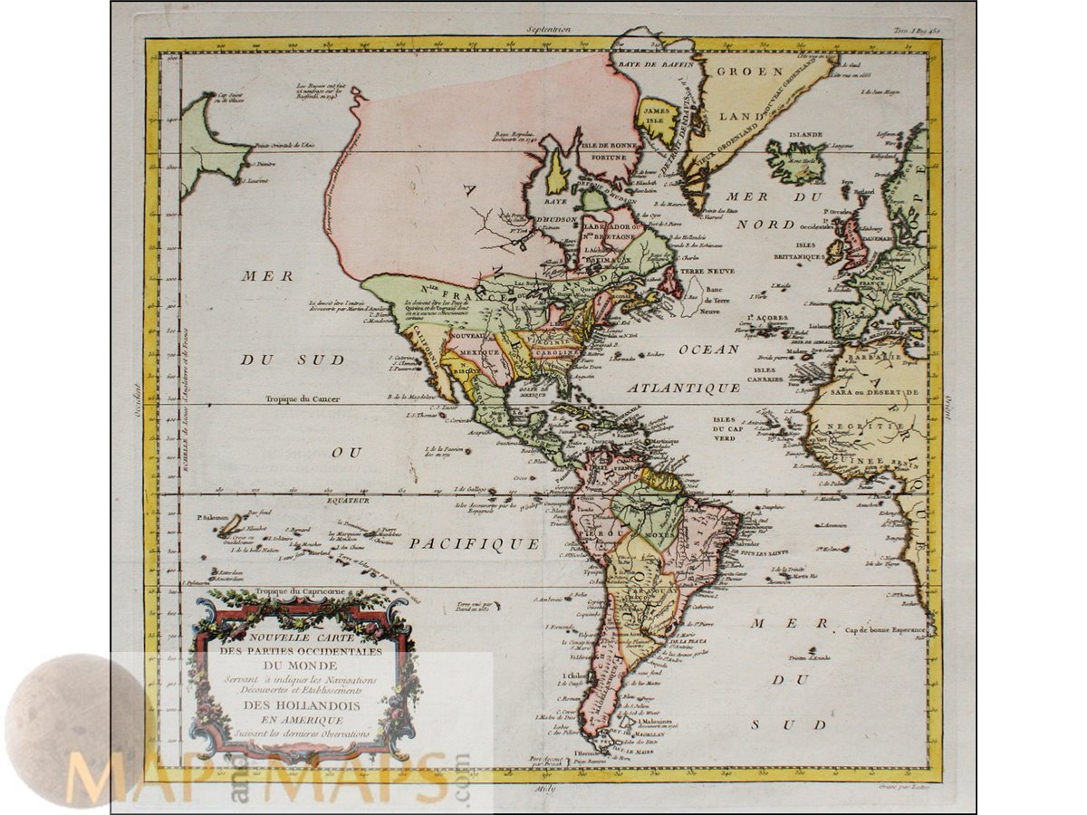
Antique map of North America, Mexico, Cuba and Canada.

Title : Representation du Cours ordinaire des Vents de Traverse … La Grande Mer du Sud, La Mer Atlantique & celledes Indes.

St. Paul's Chapel, or "The Little Chapel That Stood".

Antique original large Lithograph print by Fuchs / Honegger.


Titel: Etats – Unis Canada et Partie du Mexico.

Title: Amerique du Nord Physique Et Économique Relief Du Sol

Titled: Geologische Formationen… von Nord Amerika, Thüringer Wald, and Edinburg.


Alaska old map, Havre de Samganoodha Cook voyage 1785
