No products
Southeastern Europe Old Maps with The Balkan Peninsula maps, Authentic old, antique, and rare maps of Atlases for sale.
See our Topographic Map Collection with sea charts of the Mediterranean Islands in our Mapandmaps online store.
Subcategories
Southeastern Europe Antique Prints. Original Old Topographical prints of the Balkan Peninsula with the present countries Albania Bosnia and Herzegovina Bulgaria Croatia Greece Kosovo Macedonia Montenegro Romania Serbia and Slovenia.
All Prints in antiquarian collectable condition.


Title: Carte de la Grece ancienne de la Macedoine et de la Thrace.

Turkey d’Europe old map of the Balkans in Ottoman Empire


19th century map of Greece with Crete and the Greece Islands.


Antique map of the islands between the Greek and Anatolian peninsula.


Title: Essai sur la topographie de Sparte et de ses Environs.

Title: Die landschaft und Halbinsel Morea. Nro. 20

Title: Der Nordliche Theil des Koenigreichs Albanien...
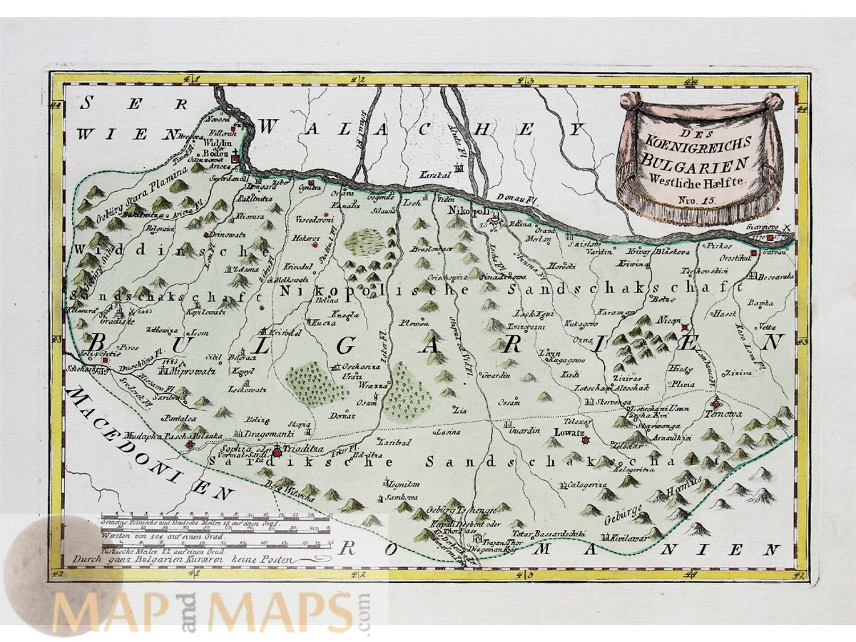
Title: Des Koenigrechs Bulgarien Westliche Haelfte. Nro 15.
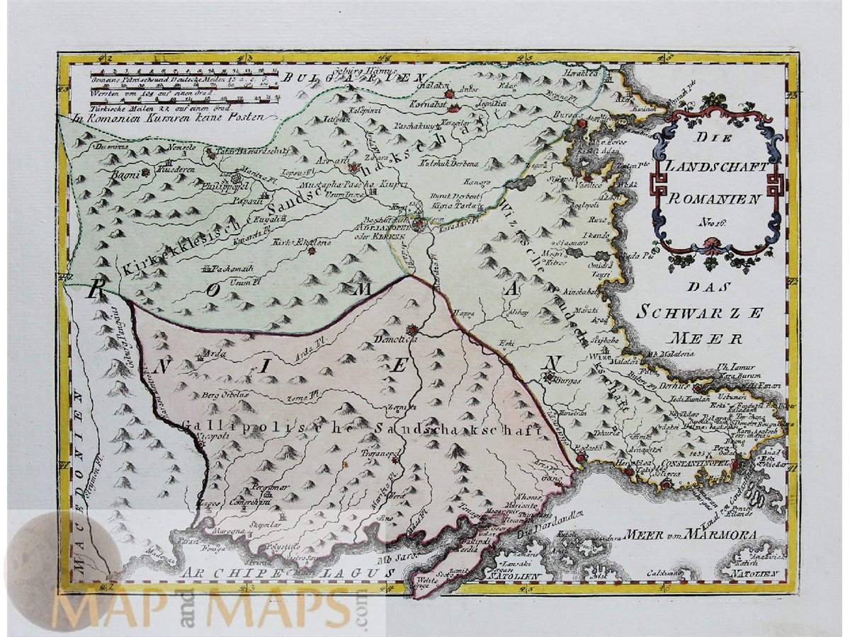
Romania Bulgaria antique old map of Romania and (now) Bulgaria with Constantinople.

Title: Die Otschakowische Tartarey oder Westlichches Nogaj auch Jedisan. Nro. 12


Title: Retraite des Dix Mille L’au 400 avant J.C….

Title: Die Landschaft Livadien einst Hellas...

Islands Ipsera & Antipsera Greece, antique old Nautical Chart.


Title: L’Attiaue, la Megaride et Partie de L’Isle d’Eubee.

Title: L’Argolide L’Epidaurie la Trezenie L Hermionide L’Isle d’Egine.

Title: La Corinthie, la Sicyonie, la Phliasie et l’Acaie.

Old antique plan of Ancient Athens with an explanation column at left.