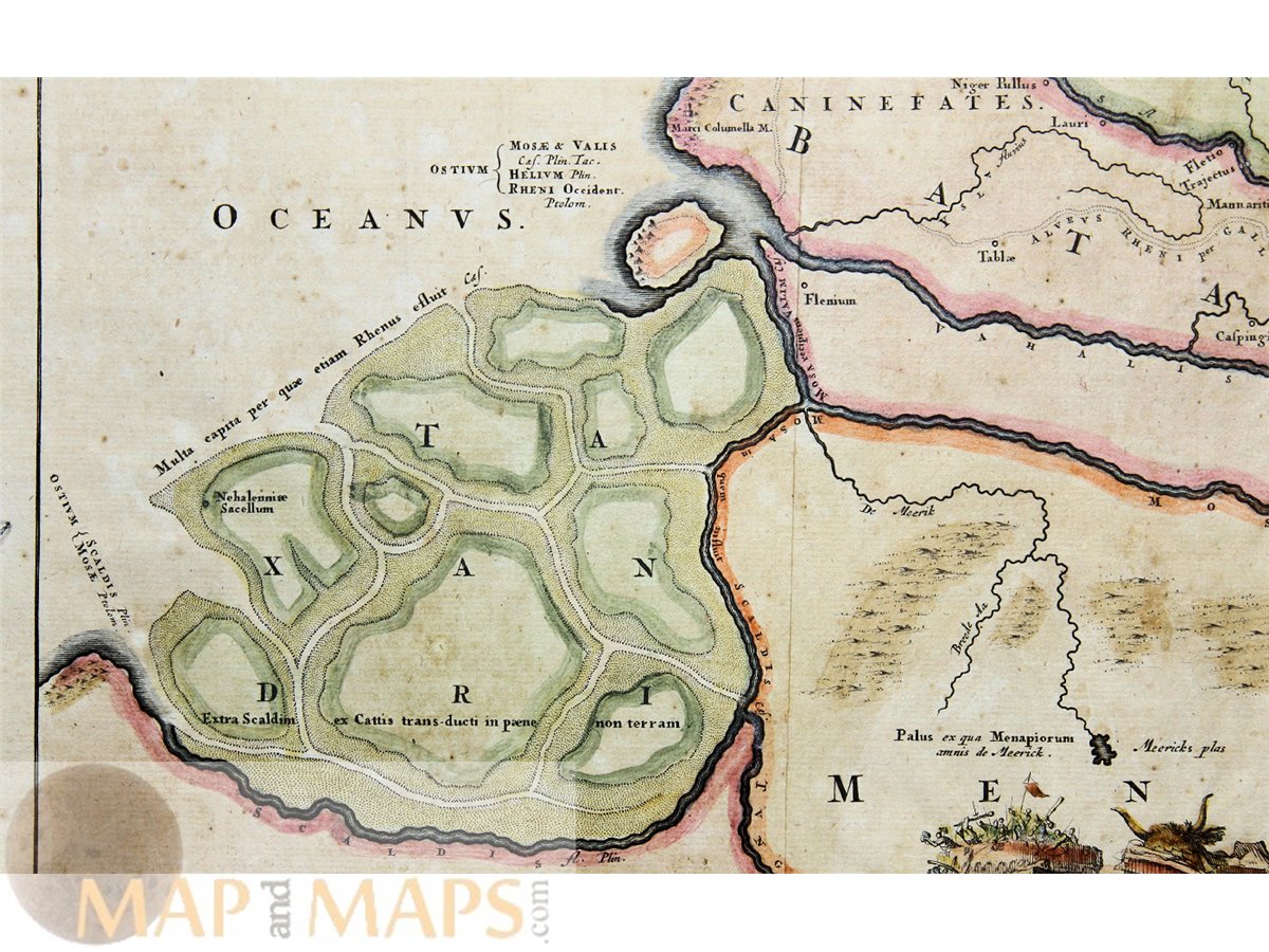
Descriptio Agri Batavi Old map South Netherlands Alting 1725
Title: Descriptio Agri Batavi Aliorumque qui hodie cis Rhenum in dicione VII Foedereratorum Auctore Mensone Alting
Description: Historical map of South Netherland in ancient times, shows Zeeland, Flanders, Brabant and Utrecht in ancient times.
Author: Menso Alting son of Henricus Alting. Mayor of Groningen. Engraved by de Broen and published by François Halma and Henry Wetstein.
Origin: Tooneel der Vereenigde Nederlanden...An Encyclopedic DICTIONARY and ATLAS
Guaranteed Absolutely Original authentic Maps and Prints. A Certificate of Authenticity ( COA ) will be supplied on request. We ship our antique items across the world.
Size app.: 46 x 39 cm. 19 x 15.5 inches. Image app.: 42 x 33 cm. 16.5 x 12.5 inches. Condition: View overall good, folds as published, Slightly stained and faint browning.