Africa Cameroon Sanaga River antique map by Bellin 1759 +
Rivere Senegal + Coste Occidentale D' Afrique.
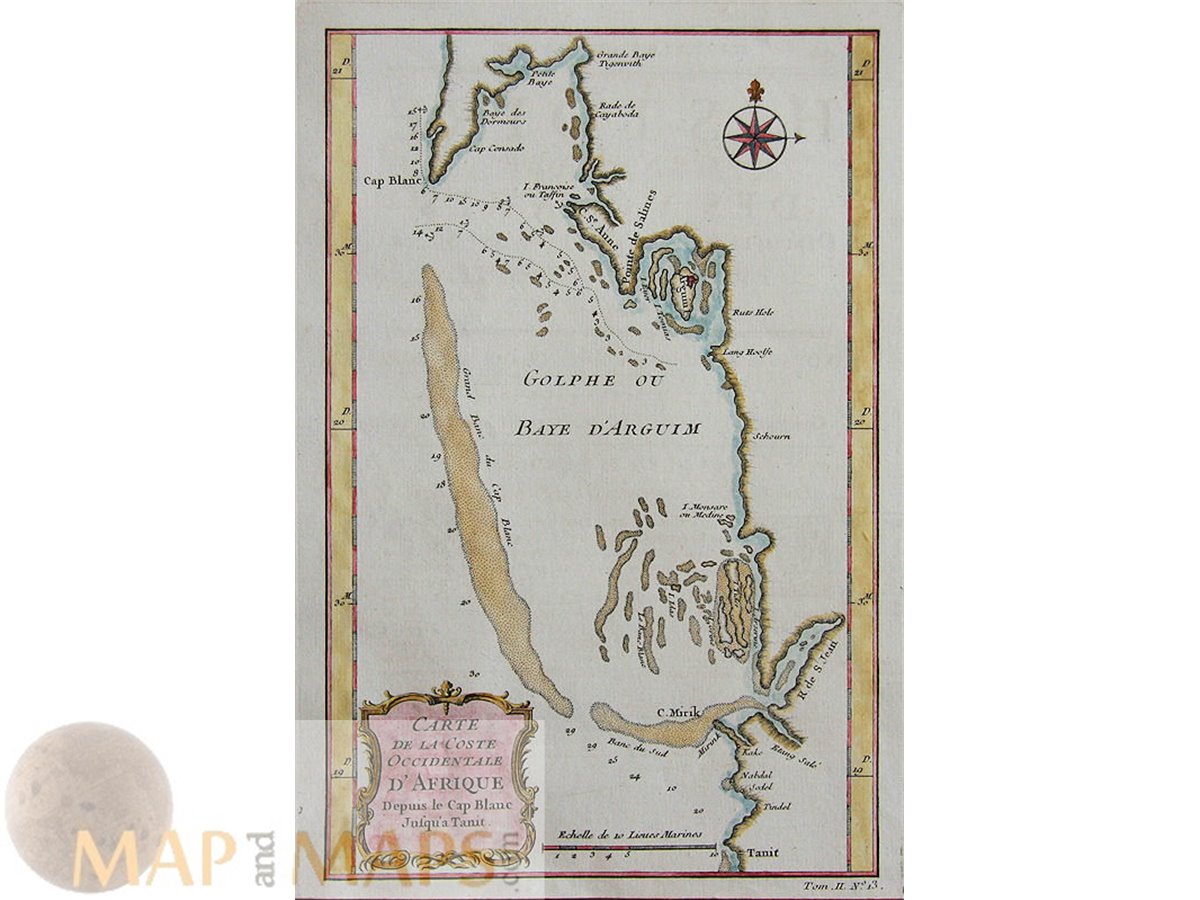
Lot of 3 Africa antique maps.
Title : A particular map of the River Sanaga, from the defart to the Isle of Morfil of Ivory, including Lake of Pania Fuli.
Description: The Sanaga River Cameroon, old antique map of the course of the rivers with settlements and lake Lac de Guiers (Pania Fuli) mapmaker Bellin.
Cartographer: Jacques Nicolas Bellin (1703 – 21 March 1772) Bellin was born in Paris. He was hydrographer of France's hydrographic office, member of the Académie de Marine and of the Royal Society of London. Over a 50 year career, he produced a large number of maps of particular interest to the Ministère de la Marine.
Most of the plates in the Dutch edition of Prévost's "Histoire générale des voyages" are signed by the engraver van der Schley. Publishers: Prévost, Abbé, 1697-1763 - Meusnier de Querlon, A.-G. 1702-1780 - Pierre de Hondt, The Hague between 1747 – 1780.
Authentic Antique Old Maps & Prints from the past See our historic maps of the Centuries of the World continents.
16th -17th -18th-19th Century maps & atlases & prints. We sell guaranteed Absolutely Original authentic Maps and Prints. A Certificate of Authenticity ( COA ) will be supplied on request. We ship our antique items across the world.
All 3 Sheet app.: 26.5 x 20 cm. 19.5 x 7.75 inches. Image app.: 22 x 14.5 cm. 8.5 x 5.75 inches. Condition: Very good clean engraving, fold as published.