No products
France Old Maps, antique rare engraved topographic maps of the France history all authentic antiquarian regional country maps.
Subcategories
France old prints, rare antique prints for sale in our MapandMaps Print Gallery. All master pieces are authentic historic early France city prints of the Gaul History.
France Old Town and Battle plan maps, authentic old, antique, and rare maps of the History of France in original genuine Antiquarian and collectable condition for sale.
Mapandmaps historical map collection.

Fine hand colored original town plan of Bordeaux and environment with views of Bordeaux from the Quai des Salinieres and Bordeaux from the Quai des Chartrons.


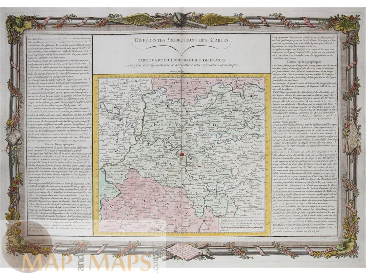
Very attractive full colored map of the area around Paris with description text beside the image.

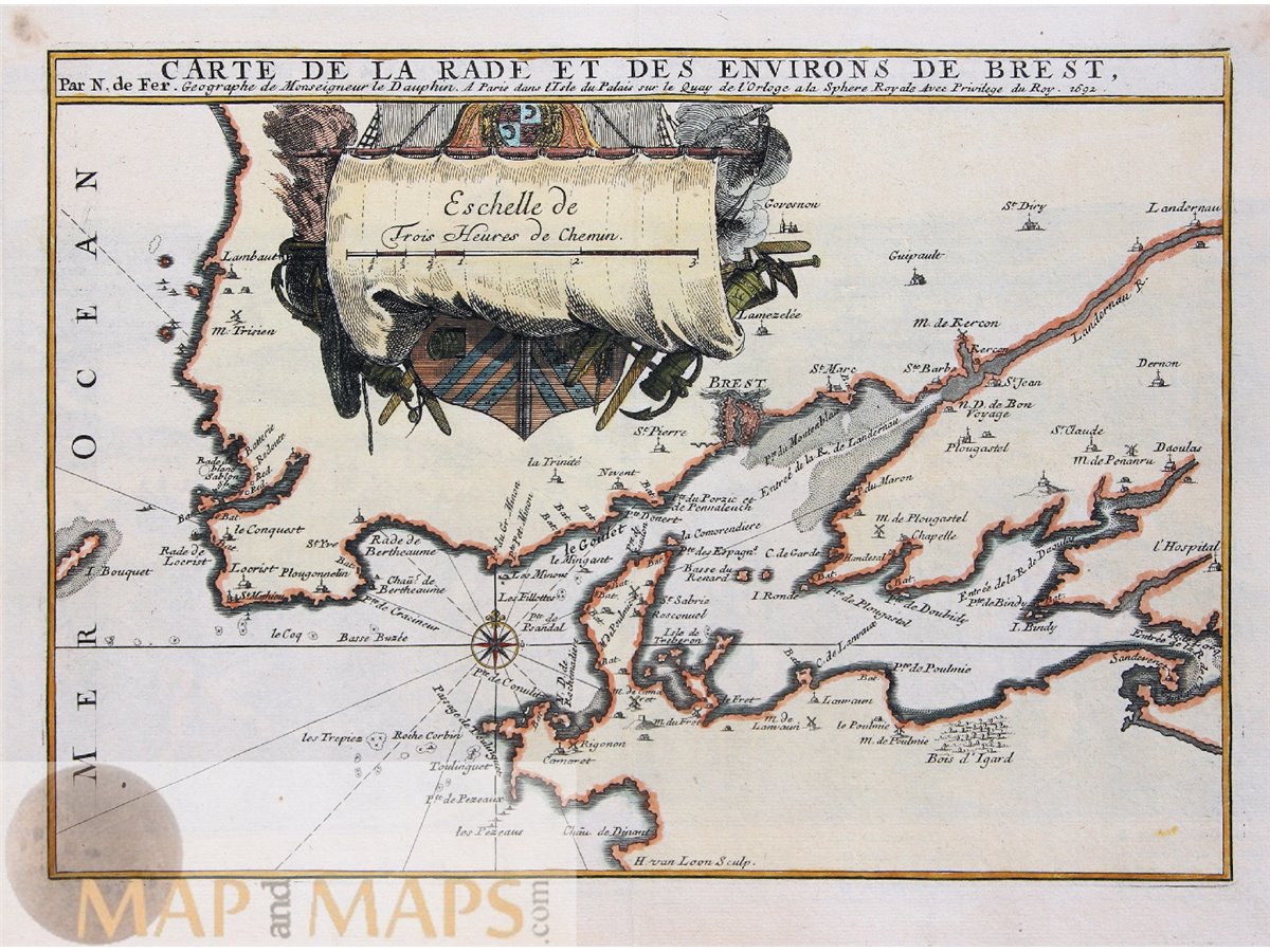
Antique map of the Bay of Brest France, with coat of arms processed in a sailboat.

Dunkirk or Dunkerque France Old antique map of the Citadel of Dunkirk.


Plan of Cherbourg, (Cherbourg-Octeville) with forts and batteries.

Dunkirk France, Antique old townplan with the canal of Mardick France.

Saint-Omer (St. Omer) antique Town plan of the fortified city.

France Islands, old antique map of the St. Margarite and St. Honorat Isles near Cannes.
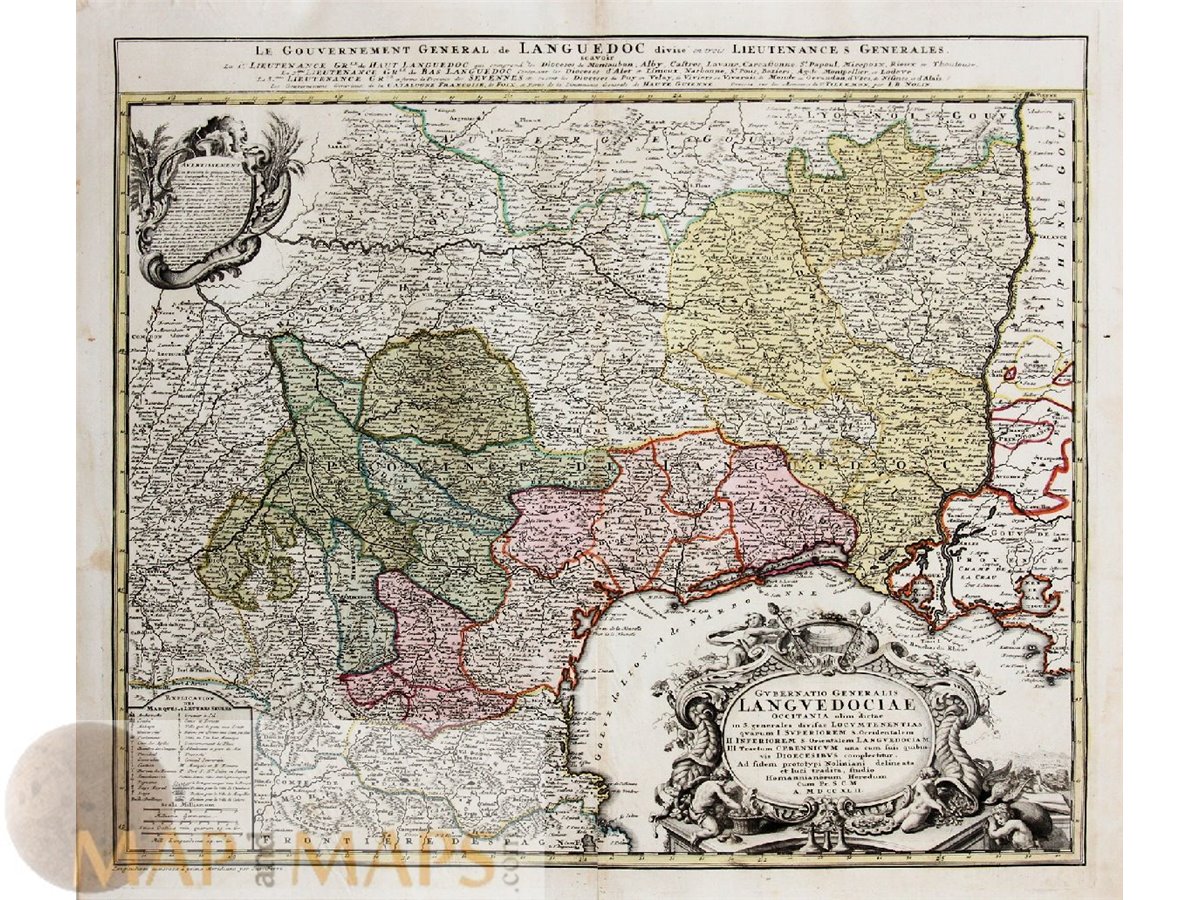
Title: Gubernatio Generalis Languedociae Occitania olim dictae in 3 generales . . .

engraved map of Languedoc, de Foix and Roussillon France.


Title: Gouvernements de Berri D’Orléanais de Touraine et de Nivernois.

Title: France par N. Sanson le fils, Geographe du Roy

Gouvernemens de Normandie et du Havre Old Map Normandië France Desnos 1765

Fort-Louis Old antique Battle plan of the Alsace-Champagne-Ardenne-Lorraine in north-eastern France.
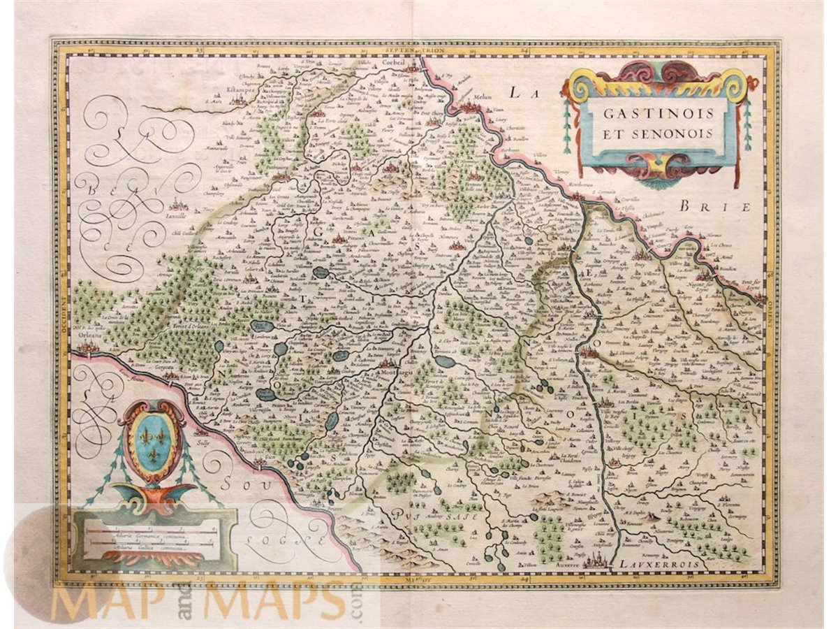

A very old decorative example of regional map of central France with beautiful cartouches of the province showing the Seine and Loire Rivers.