No products
The Middle East, with its rich historical and cultural tapestries, has long captured the imagination of explorers, scientists and cartographers.
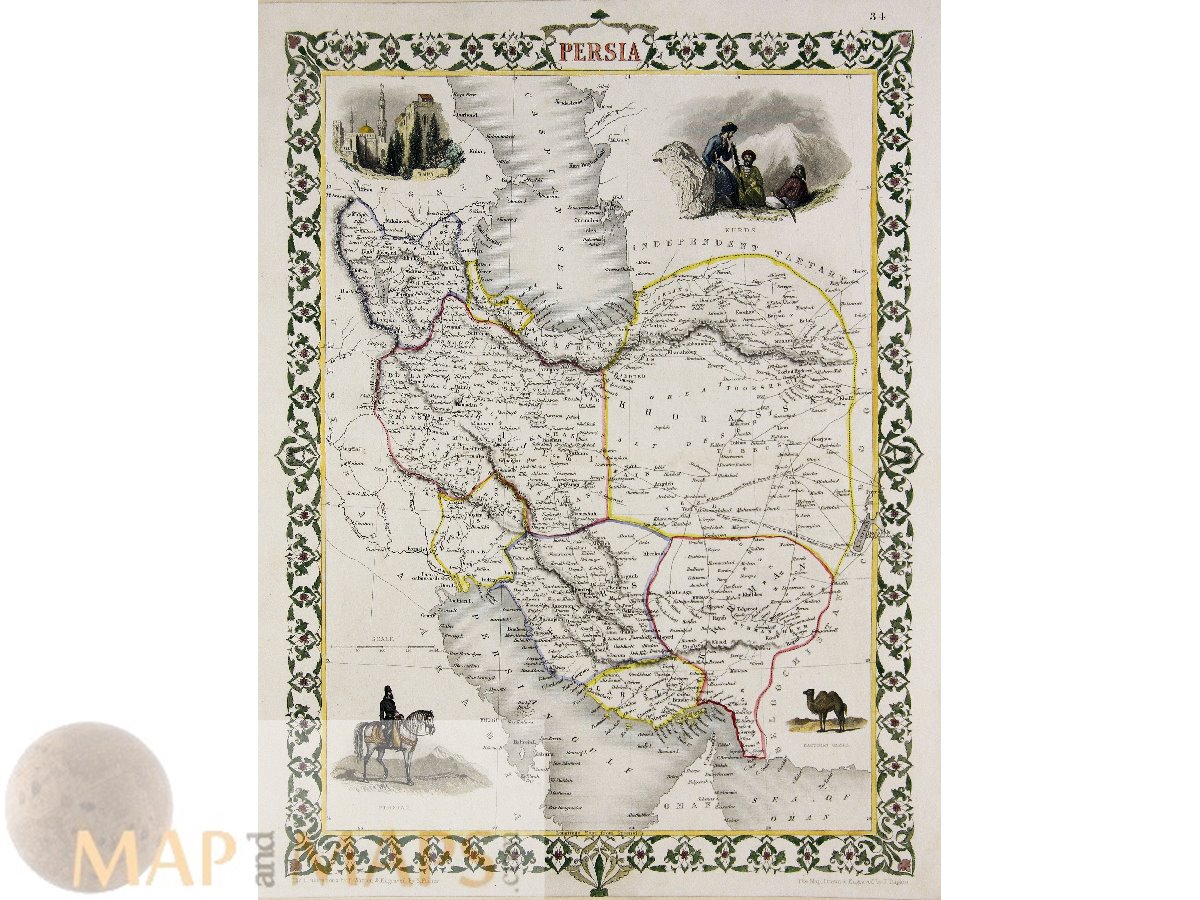
Over the centuries old maps of countries such as Algeria, Bahrain, Egypt, Persia (Iran), Mesopotamia (Iraq), Palestine, Transjordan, Kuwait, Mount Lebanon, Oman, Qatar, Saudi Arabia (including Hejaz, Na...
The Middle East, with its rich historical and cultural tapestries, has long captured the imagination of explorers, scientists and cartographers.
Over the centuries old maps of countries such as Algeria, Bahrain, Egypt, Persia (Iran), Mesopotamia (Iraq), Palestine, Transjordan, Kuwait, Mount Lebanon, Oman, Qatar, Saudi Arabia (including Hejaz, Najd and Eastern Arabia ), Syria, Tunisia, United Arab Emirates and Yemen are carefully crafted and provide valuable insights into the geographic and cultural landscapes of the region.
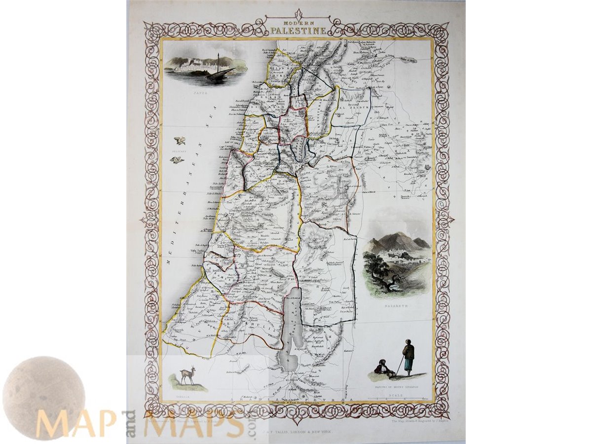
Particularly noteworthy are the old antique maps, including the Biblical maps of the Holy Land, created by the greatest cartographers of the Old World.
Subcategories
Antique engraved maps from the 16th to 19th centuries, meticulously hand-colored, demonstrate the artistic skills and attention to detail of the master printers of the time. These prints, often made with copper engravings or woodcuts, feature vibrant hand colors that bring the region's landscapes, architecture, and people to life.
Outside of Jerusalem, antique prints and engraved maps also show the lands surrounding the city.
These include Palestine, with its ancient cities of Bethlehem, Jericho, and Hebron, and the Transjordan region, which includes what is now Jordan. The prints show the diverse landscapes, architectural monuments and historical sites that make these regions so important.

Regna Antiquissima Middle East Kingdoms Perthes 1893

Holy Land with a inlay map of Canaan and Hierosolyma (Jerusalem)

Map of the Travels and Voyages of St. Paul.

Tabula Itineraria a Sues, Old antique map of the Sinai Peninsula Egypt.

A New Chart of the Caspian Sea, Old antique map by the cartographer John Harrison.

Titel: Het openscheuren der zijden door ijzeren kammen of haken.


Title: Distributio Chanaanitidid juxta visionem Ezechielis Cap. XLVIII.

Title: Tabula Paradisi Terrestris.
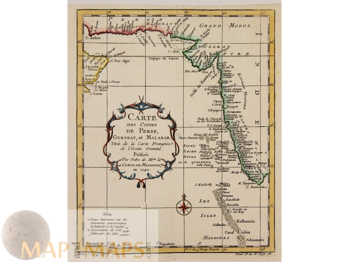
Totle: Carte des costes de Perse, Gusarat et Malabar tirée de la Carte fraçoise de l'océan Oriental...
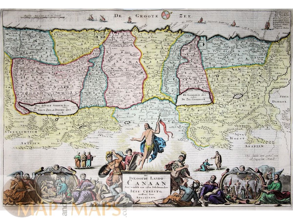
Het Beloofde Landt Canaan Old antique Dutch Bible map of the Holy Land.

Table de L’Histoire Ancienne antique old engraving of the Table tree of the first Pharaohs of Egypt.


Title: Natoliae Sive Asia Minor.Text verso: Asia Minor Sive Natolia.

Title: Iraq Arabi Kurdistan Diarbek Turcomannia Siria e Palestina.
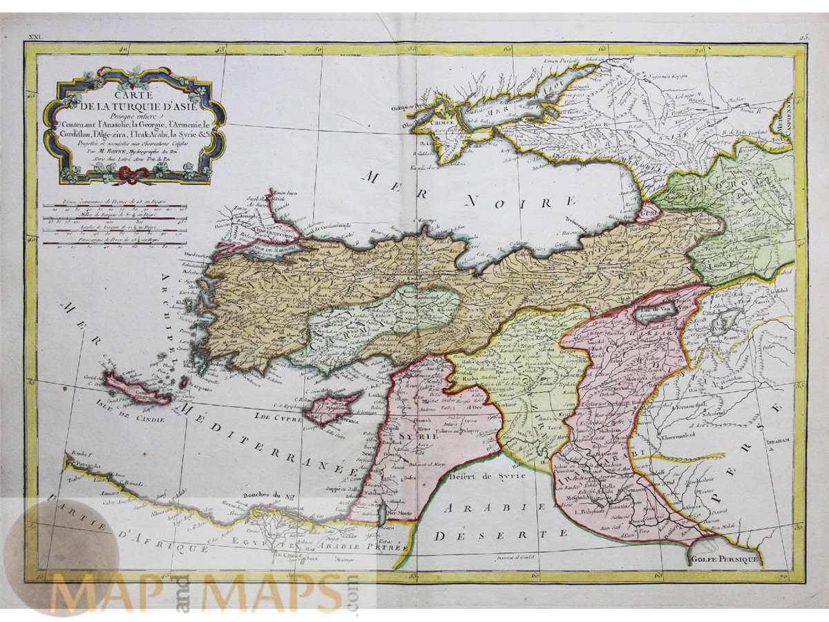
Carte De La Turquie D'asie Old antique map of Turkey in Asia, Syria, Georgia, Crete, the Crimean Peninsula and Cyprus.


Title : Carte Pour les Voyages de Rubruquis, Marco Polo Jen kin son.Tome VII. Nº 8.

Title: Aegyptus Antiqua Divisa in Nomos Authore P. Duval Abbevilliense Regis Christianissimi Geographo.